Global warming is causing notable changes to Ireland’s climate, evident in the escalating occurrences of storms, floods, modified coastlines, as well as inconsistent weather patterns, such as the gloomy skies and inadequate sunshine that characterised this past summer. Met Éireann affirmed that the last year marked the country’s highest ever recorded temperatures and rainfall. Moreover, around the globe, the last dozen consecutive months have been reported to be 1.5 degrees hotter than the pre-industrial era’s average, as indicated by recent statistics.
In light of the varied changes taking place in Ireland’s climate over recent decades, it is essential to examine the likely impacts if global temperatures rise by 1.5, two or even four degrees. Met Éireann, through its TRANSLATE project, provides a range of interactive infographics that offer insight into the current Irish climate and its influencers. They elucidate how temperature and rainfall levels have evolved from 1961 to 2020, and how these changes might affect the county that you inhabit in terms of air temperature and rainfall patterns in summer and winter when global warming continues. Kindly note, these graphics are optimised for desktop viewing.
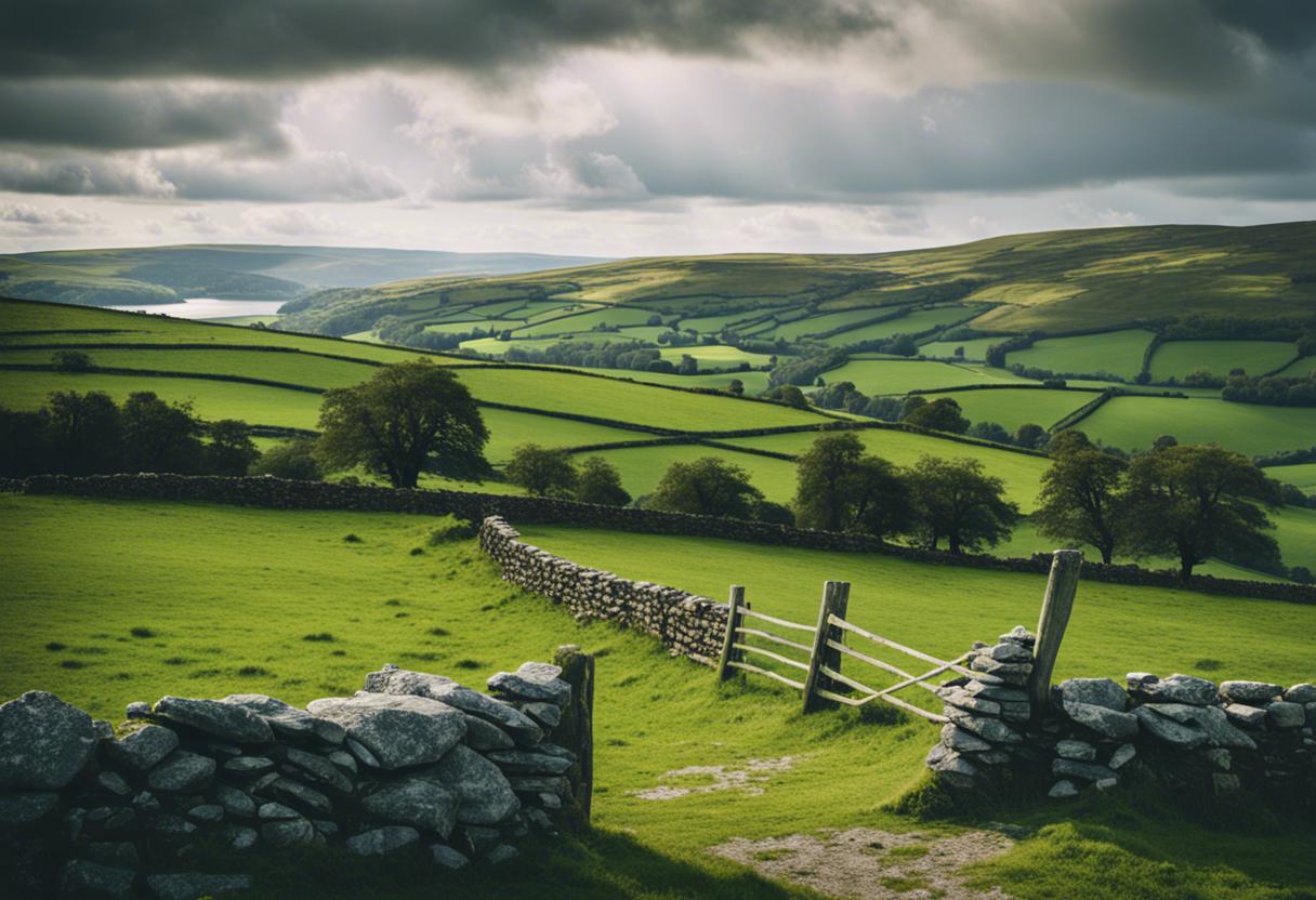
An informative storymap supplementing these provides background to the current climate factors in Ireland.
Has Ireland been experiencing a rise in temperature?
Without a shadow of a doubt, Ireland’s temperature is on an upward trajectory. This can be extrapolated from the Thirty Year Climate Averages, which are depicted in the accompanying storymap. The storymap chronicles two successive thirty-year phases (1961-1990 and 1991-2020), revealing a roughly 0.7 degree rise in Ireland’s annual median air temperature. The World Meteorological Organisation endorsed these ‘Averages,’ which represent median values of a climate variable (like temperature) over a standardised reference duration. Thirty years is generally accepted as the standard period, as it provides meaningful climate statistics.
The maps included here illustrate the mean yearly temperatures in Ireland during the aforementioned timespans. You can move the slider to see how the temperature fluctuates. The map on the slider’s left recounts the average annual temperature from 1961-1990, while its counterpart on the right shows the same from 1991-2020. Click on any part of the map to see the local annual average temperature or utilize the search bar to find specific regions.
Has Ireland seen an uptick in rainfall?
Ireland’s climate has been increasingly growing warmer and concurrently, wetter than it was in the phase from 1961 to 1990. Upon examination of the maps, which are split into two distinct periods – 1961-1990 on the left and 1991-2020 on the right – one notices a visible surge in rainfall, predominantly in the western regions of the country. By scanning specific areas of the map or employing the search option, you can acquire data on mean yearly precipitation for a location during a particular period.
What are the changes to Ireland’s climate as global temperatures rise?
It is evident that the climate in Ireland has commenced changing, largely due to man-made global warming. Each degree by which the world temperature escalates, average climate shifts and extreme-weather incidents heighten. The following chart illustrates the repercussions on Ireland if the global temperature rises by 1.5, 2, 2.5, 3, or 4 degrees, relative to the benchmark period of 1976 to 2005. Adhering to international standard protocols, these warming levels were chosen. A baseline refers to a reference stage or reading, used for comparison with future data. The baseline for the TRANSLATE project was chosen to be from 1976 to 2005 as this was the earliest timeline that all the climate models used in the project could access.
How would the climate in my county progress based on the extent of global warming?
You can utilise the adjoining interactive map to understand the potential variations in your county’s climate under the influence of different levels of global warming (+1.5 to +4 degrees). To examine how your county’s climate could be impacted, you can either click on the map or use the search function to explore different global warming levels.
Deciphering the info panel
Displayed below is a summary of the alterations in values, relative to the 1976-2005 period, which includes limits computed from the 10th to 90th percentile of the TRANSLATE “ensemble”. The term ‘ensemble’ signifies the aggregation of multiple climate models employed, while the 10th percentile represents the minimum probable value for the variable being studied and the 90th percentile symbolises the maximum potential value of the same variable, thus forming the lower and upper limits of a range.
The subsequent chart, as an illustration, denotes the average yearly temperature at the Global Warming Level (GWL) of 1.5 degrees. It implies that the yearly average temperature might shift by an average of 0.79 in this specific region if global warming reaches 1.5 degrees. Nevertheless, it is a variable range – hence the annual average temperature can alter by a minimum of 0.39 degrees or by a maximum of 1.07 degrees.
On the present climate of Ireland
To know more about Ireland’s current weather, including information about the months that record highest and lowest temperatures and maximum rainfall, together with our climate records, watch this brief video.
The task of deciphering the effects of climate change on the national level is being undertaken by the TRANSLATE project. This initiative of Met Éireann aims to enhance future climate predictions for Ireland and establish climate services that offer vital information for those responsible for decision-making, like government bodies and departments, aiding them to effectively plan for Ireland’s future. This task is a joint venture – led by climate researchers from the Irish Centre for High End Computing (ICHEC) at the University of Galway, and the Science Foundation Ireland Research Centre for Energy, Climate and Marine (MaREI) at University College Cork, with the support of climatologists from Met Éireann.
To learn more about Ireland’s climate predictions and climate services, visit the Met Éireann website. For any questions about the data presented on the interactive map tools, Met Éireann can be emailed at [email protected].