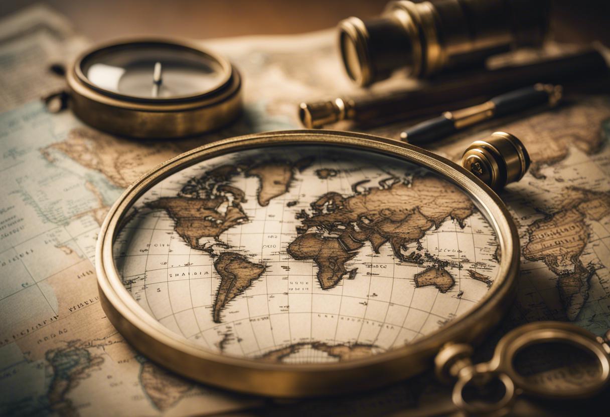
Starting in 1824, Ireland was the first nation to be systematically mapped by surveyor teams, producing detailed ordnance survey maps. Two centuries later, this comprehensive collection of 6-inch to a mile maps, records of place names, personal memoirs, and handwritten correspondence have been collated into an accessible digital archive for public use and academic research.
An exhibition detailing the process of the three-year digital transformation initiative, OS200, is showcased at the Royal Irish Academy library on Dawson Street, Dublin – which also houses the majority of the original archive materials.
Dr Keith Lilly, a professor of historical geography at Queen’s University Belfast and one of the leading researchers of the OS200 project explains, “The project has successfully brought back together related sources that were originally intended to be unified. It presents an in-depth portrait of past life across townships in Ireland – from agriculture, populace, wealth, ancient relics to traditional stories.”
This project also received funding from the Irish Research Council and the British Arts and Humanities Research Council.
Associate professor of geography at the University of Limerick, Dr Catherine Porter, the second chief investigator, foresees that the public will utilise the internet-based resource to discover former homesteads and districts where their ancestors resided. She states that maps reveal the past characteristics of a place, something that she personally finds fascinating and believes others will too.
The first timers get access to memoirs, a precious record of data including family names, migration patterns and even details etched on headstones in local cemeteries written by the surveyors who mapped the country from the North to South over a span of 15 to 20 years.
According to Dr Porter, the release of these memoirs will allow academics to unearth hidden fragments of life and employment details of those who worked for the ordnance survey whilst further investigating Ireland’s intricate colonial past, and thereby facilitating more understanding of pre-famine Irish history.
Col Thomas Colby led ordnance survey crews in the systematic mapping of 60,000 townlands, from North to South, compiling a total of 1907 map sheets. Despite manifold challenges including fluctuating weather, local interest and occasional ignorance, they proficiently charted roads, communities, peatlands and lakes.
The memoirs left behind by the surveyors contain hand-drawn portraits of buildings and monuments that have since disappeared, providing historians with the tools to recreate what once stood.
Among the landmark success of these early mapping efforts was the inscription of an extensive number of Irish place names in their anglicised forms, and their documentation in convenient namebooks. As half of the population spoke Irish during that era and numerous place names had never been documented in a written language, collecting the historical names from Irish, Latin and English sources as well as local wisdom was an extensive venture.
John O’Donovan, an Irish language scholar who later became the professor of Celtic Languages at Queen’s University Belfast, played a vital role in researching place names of that time. Researchers working on the OS200 project can now compare these maps with modern ones, most notably the recently concluded national land cover map by Tailte Éireann, now known as Ordnance Survey Ireland, and the Environmental Protection Agency (EPA).
According to Dr Lilly, the initial ordnance survey maps and memoirs hold significant details about the peatland distribution within the country. He said, “We can now extract valuable data to examine the extent of peatland loss and changes in land cover. This will be highly valuable for researchers studying peatlands.” This information could help determine which peatland areas require habitat restoration as part of Ireland’s obligations to the EU Nature Restoration Law.
Moreover, data like the original paths of rivers could prove beneficial. In the earlier ordnance survey maps, townland boundaries trailed river’s routes, while more recent ones align with modified rivers for farming purposes. As understanding the benefits of restoring undulating rivers to mitigate flooding in downstream urban areas grows, this information about the original waterways could be of immense value.
Dr Lilly underscores the vital role of geospatial references in comparing the features of townlands from historical times to the present. The Royal Irish Academy provides public access to the original ordnance survey maps for reference. In addition, they also house 50 boxes worth of memoirs, donated by Ordnance Survey Ireland and member surveyors, according to Barbara McCormack, the Academy’s librarian.
The OS200 project, which Sarah Gearty describes as a superior and advanced version of past projects, now allows a more in-depth study of information that forms the basis of these maps. Gearty is associated with the Irish Historic Towns Atlas at the Academy.
Recently, detailed maps of national land cover, produced by Tailte Éireann and the EPA, have found uses in varied areas, including the management of water quality and an enhanced delineation of hedgerows and tree lines. The map also has potential applications in designating profiles of bath water and future land usage.
This national landcover map, showcasing over ten million distinctive Irish landscape features including four types of grassland and subdivisions of woodland, revolutionises our understanding of the Irish land situation, says a Tailte Eireann representative.
Mapping Ireland Through Time, a seminar examining the journey of map-making from its colonial beginnings to present-day communal cartography, will take place at 6 pm on 27th August in the Royal Irish Academy. The event is in collaboration with the International Geographical Congress 2024. Further details are available on the ria.ie website.