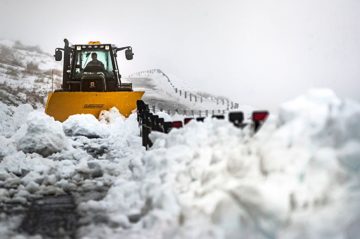
Two yellow weather warnings, the lowest of the three warning categories for weather in the UK, have been in place for the major parts of the UK. These warnings have been issued by the Met Office.
Nationwide snow and ice warning
The first warning covers Northern Ireland, Whales and other parts of the west of the UK. According to a forecast issued by Met Office, showers of hail and sleet are expected and icy stretches are likely to disrupt travel. This warning will be in place from 8:00 PM (Tuesday 25 February) to 10:00 AM (Wednesday 26 February ). The second warning is for the South of England which further extends to the Stoke-on-Trent in the North. The yellow warning for this place has been in place from Tuesday Midnight until 10:00 AM on Wednesday.
According to Caroline Douglass, Director of Incident Management at the Environment Agency, rainfall is expected across England this week. And it will be 125- 250 per cent above normal. Thus, floods are likely to get worse, particularly in the Midlands and Yorkshire. As the river levels for the River Severn will, most probably, remain high, it will lead to further flooding.
Considering these warnings as serious, people need to remain prepared and make their food arrangements earlier so that they won’t need to drive through floods.

